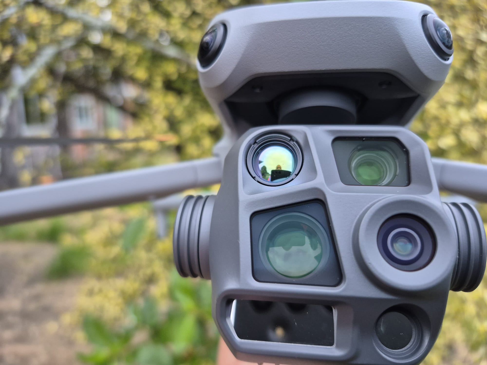
Advanced Thermal Drone Imaging & Aerial Detection
Watershed SPF provides advanced aerial Thermal/IR imaging and AI assisted detection services for agricultural, environmental and wildlife management applications. Our technology enables efficient location, identification and monitoring of animals across large rural properties and difficult terrain.
Combining thermal imaging with aerial surveying allows us to locate, identify and monitor animals across agricultural, rural and conservation environments.
Our services include:
-
Agricultural stock counts – Livestock location, monitoring and stock identification across large or difficult-to-access properties.
-
Pest animal detection – Locating and identifying pest animals, including rabbits, deer, goats and other introduced species.
-
Animal search and recovery – Assisting with the location of missing livestock and domestic animals.
-
Environmental monitoring – Wildlife detection, habitat surveys and monitoring of conservation areas.
Using aerial thermal technology, Watershed SPF delivers efficient, targeted detection with minimal ground disturbance.